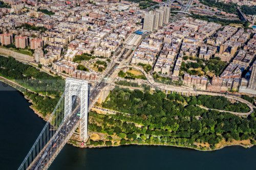
We offer high quality drone photography, video services, roof inspections, mapping, 2D & 3D Orthomosaic.
We are FAA certified licensed drone pilots and are fully insured.
We offer a fast turnaround, dependent on the weather. Please contact us with details of the mission you require for a fast quote.
Orthomasaic Mapping Services – Get maps geo-referenced orthomosaics, and real-time project updates. Take measurements from aerial photographs and convert images of land masses into maps, 3D models, or drawings.
Residential Real Estate Photography and Videography – Show potential buyers an aerial view of the property as well as the surrounding features and neighborhood.
Inspections – Safely gather information with high quality images of your structure or installed equipment. Save time and money by being able to asses the current situation in order to make a time sensitive decision with minimal risk.
Inspect structure, rooftops, storage tanks, equipment, towers, solar panels or agricultural fields.
3D Modeling
Produce 3D models of construction sites, buildings or commercial properties. With the use of advanced software, we are able to combine data from multiple images and produce your 3D models.
This valuable data can serve to help you imagine your property, measure volume and calculate size of an area. Not to mention the cost savings of your future projects.

